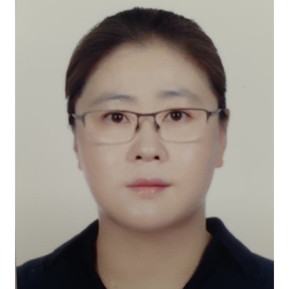
Biography
Kang Min-jo earned a doctorate in geography from Florida State University in 2014, a master's degree in geography from Arizona State University in 2009, a master's degree in regional science from Konkuk University in 2003, and a bachelor's degree in geography from Konkuk University in 2001. She worked as a remote sensing consultant at the World Bank in the United States in 2014. She has been conducting research on North Korea and land Use for border areas between South and North Korea using remote sensing and GIS techniques since 2014 at the Korea Research Institute for Human Settlements. Major research reports include < A Plan of Land Use for Border Areas between South and North Korea in Preparing for Reunification: Focusing on the Projects for the Inter-Korean Cooperation> (2017), < A Study on the Comprehensive Strategies and Practical Application for Balanced Development in the Border Areas of Northern Gyeonggi Province> (2018-2020), <Improvement on the Application of North Korean Land Information for inter-Korean Exchange and Cooperation> (2020), and <Establishment of a mid/long-term roadmap for DMZ international peace zone> (2022).
